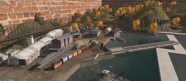
Trainz Route: Inzer - South Ural Mountains
A beautiful replica of the railways of central Eurasia, in the Ural mountain range.
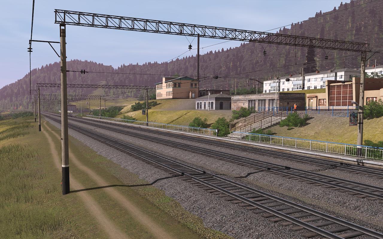
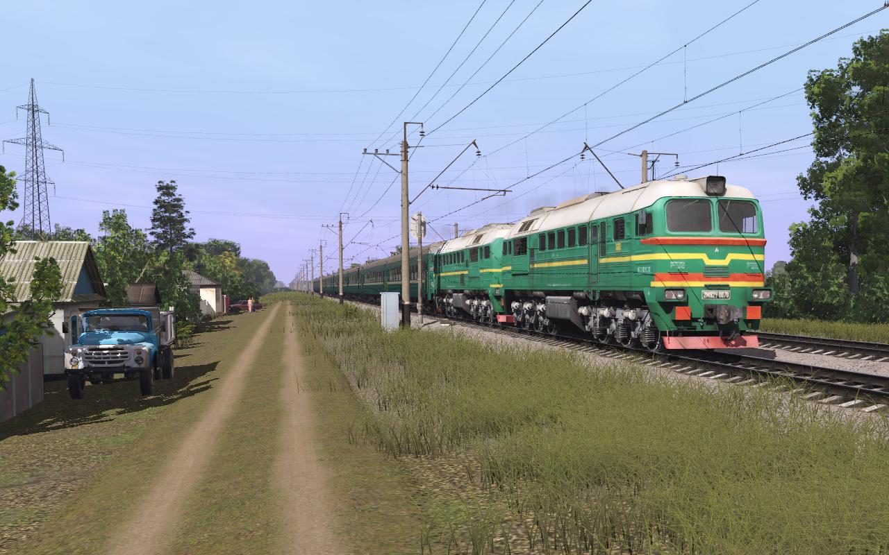
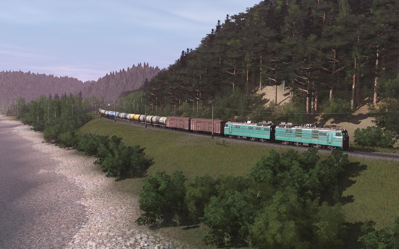
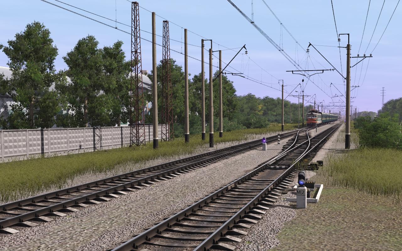
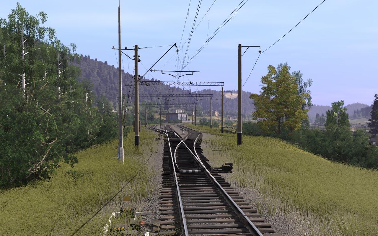
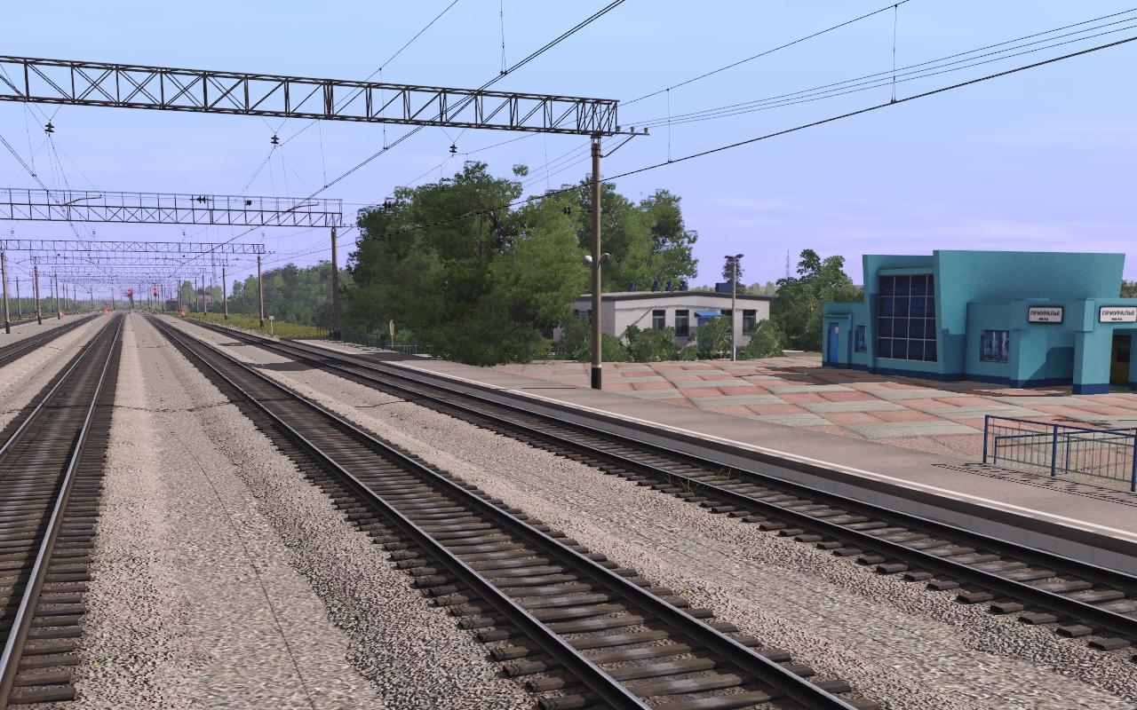
With the assistance of Google maps the relief and profile of the railway has been authentically recreated. The route includes custom made models of local stations and buildings and all other objects on the route have been carefully and appropriately selected. The textures of the earth and the grass, trees and bushes make use of the latest TRS19 technology.
The landscape, vegetation, profile of the railway track, the infrastructure of stations, cities and villages are recreated with great positional accuracy. The Kuibyshev Railway is the middle link of the Trans-Siberian Railway - the longest railway in the world. The total length of the map is more than 170km, the railway passes through the picturesque mountain places of Bashkiria. The road connected Europe with Asia, creating an important transport corridor for cargo and passengers.
Original: $39.99
-65%$39.99
$14.00More Images










Trainz Route: Inzer - South Ural Mountains
A beautiful replica of the railways of central Eurasia, in the Ural mountain range.
With the assistance of Google maps the relief and profile of the railway has been authentically recreated. The route includes custom made models of local stations and buildings and all other objects on the route have been carefully and appropriately selected. The textures of the earth and the grass, trees and bushes make use of the latest TRS19 technology.
The landscape, vegetation, profile of the railway track, the infrastructure of stations, cities and villages are recreated with great positional accuracy. The Kuibyshev Railway is the middle link of the Trans-Siberian Railway - the longest railway in the world. The total length of the map is more than 170km, the railway passes through the picturesque mountain places of Bashkiria. The road connected Europe with Asia, creating an important transport corridor for cargo and passengers.
Product Information
Product Information
Shipping & Returns
Shipping & Returns
Description
A beautiful replica of the railways of central Eurasia, in the Ural mountain range.
With the assistance of Google maps the relief and profile of the railway has been authentically recreated. The route includes custom made models of local stations and buildings and all other objects on the route have been carefully and appropriately selected. The textures of the earth and the grass, trees and bushes make use of the latest TRS19 technology.
The landscape, vegetation, profile of the railway track, the infrastructure of stations, cities and villages are recreated with great positional accuracy. The Kuibyshev Railway is the middle link of the Trans-Siberian Railway - the longest railway in the world. The total length of the map is more than 170km, the railway passes through the picturesque mountain places of Bashkiria. The road connected Europe with Asia, creating an important transport corridor for cargo and passengers.